mWater Surveyor App
mWater Co.
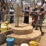
mWater is an application to map water sources and sanitation facilities.


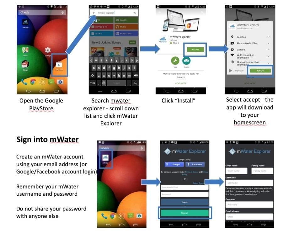
The mWater Explorer Mobile App allows users to map water sources and sanitation facilities and report functionality, water quality, or sanitary inspection reports using standard forms. The App allows the user to test a water source, take a picture of the results, and upload them to an online database for other users to see and use. The app uses GPS to show the location of the uploaded information, and broadcasts it onto a global map available within the application itself.
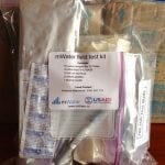
The mWater App is integrated with the mWater test kit – a single-use water quality test kit.
Worldwide
mWater
Traditional monitoring and evaluation practices such as direct surveying and reporting
Goal 6: Clean water and sanitation
Development practitioners and community health workers responsible for inspecting and reporting on the sanitary conditions of a water sources and updating the infrastructure functional status.